
Legal certainty over who owns what.
Centralised land registry, title management and valuation, with cadastre and property tax connected to the same geospatial record.
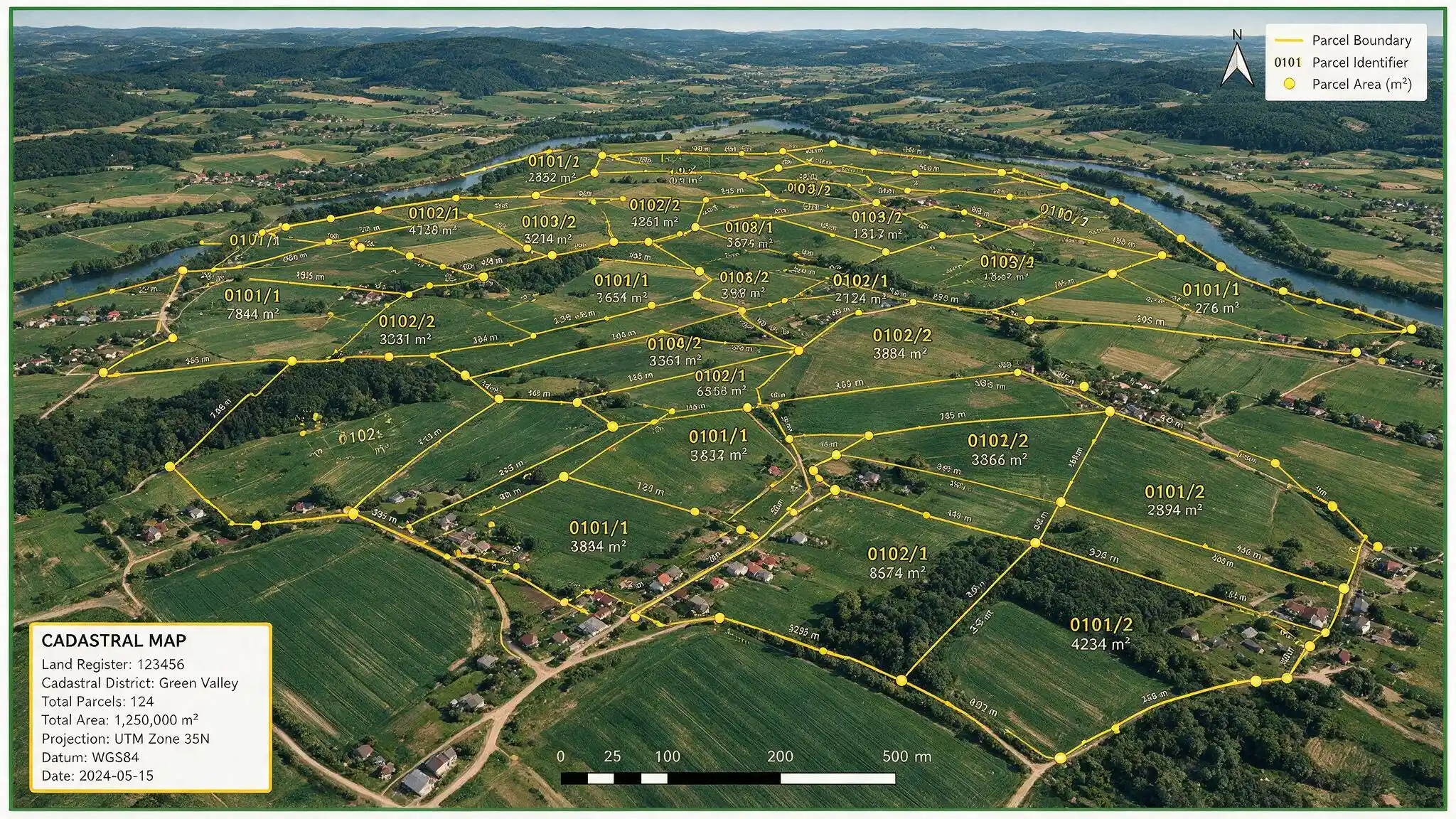
Land registry and cadastre
Parcel records bound to survey geometry, with a defensible chain of transactions.
Title management
Registration, transfer, subdivision, mortgage and encumbrance workflows with an audit trail.
Valuation and property tax
Mass valuation models connected to the cadastre, so the tax base updates rather than ossifying.
Petroleum and mineral cadastre
Licence blocks, tenure, obligations and expiry management.
Tenure formalisation
Capture and adjudication of informal and customary tenure, including community and group rights.
Identity binding
Owners bound to verified identity — which is what stops the same person appearing as three claimants.
Adjudication capacity
Formalising tenure surfaces disputes that already existed. Without a resourced adjudication process, the programme creates conflict rather than resolving it.
Survey accuracy versus coverage
Centimetre accuracy over 5% of the country is worth less than metre accuracy over 80%.
Registry integrity from day one
A digital registry inherits every error in the paper one unless the migration includes adjudication.
- ISO 19152 (LADM)
- OGC standards
- ISO/IEC 27001
Tell us what proportion of your territory is currently titled, and how long a transfer takes today. Those two numbers frame the whole programme.